Nashwaak Watershed Association
News
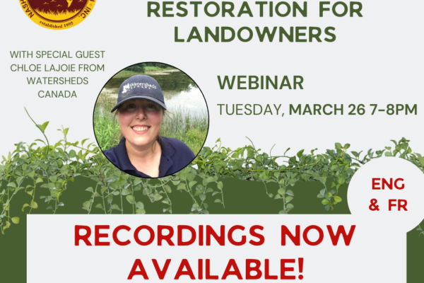
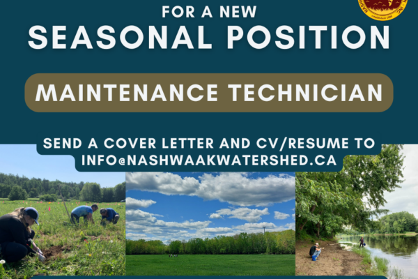
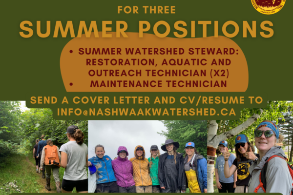
The Latest News
Happenings and goings on around and affecting the Watershed.
Lend your Support
There’s a variety of ways you can support the watershed and the Association, from becoming a member or making a donation, to volunteering time or expertise. Get started today!
Get the latest news right to your inbox!
Subscribe to our monthly e-blast email newsletter to stay up to date on news, projects, events and more!